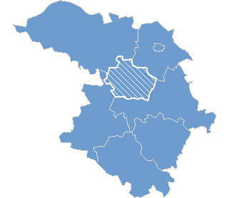
Geography »Poland » County szamotulski » Commune Ostroróg »
Commune Ostroróg
Commune Ostroróg
Statistic on 09.10.2011
Inhabitants: 4 956
Electoral statistics
Precincts quantity: 2
Electors: 3 855
Results
Results of voting
Precincts
Number Address Precinct type Location accessible for the handicapped Precinct correspondence Boundaries Google map link
1 Strażnica OSP, ul. J. Ostroroga 8 , Ostroróg 64-560 Ostroróg General No No ulice: Bratkowa, Dworcowa, Jana Ostroroga, Jaworowa, Jeziorna, Kapłańska, Klonowa, Kolejowa, Kościelna, Krótka, Ks. Jana Kaji, Lipowa, Malwowa, Nowa, Ogrodowa, 15-Lecia, Pniewska, Podgórna, Polna, Powstańców Wielkopolskich, Poznańska, Robotnicza, Rolna, Rynek, Rzeczna, Szamotulska, Topolowa, Wąska, Wierzbowa, Wodna, Wroniecka, Zamkowa, Żniwna
2 Urząd Miasta i Gminy, ul. Wroniecka 14 , Ostroróg 64-560 Ostroróg General Yes Yes wsie: Bielejewo, Bielejewo Leśne, Binino, Bobulczyn, Dobrojewo, Forestowo, Karolewo, Klemensowo, Kluczewo, Kluczewo-Huby, Oporowo, Piaskowo, Rudki, Rudki-Huby, Szczepankowo, Wielonek, Zapust

*) National Electoral Commission explains that the errors occurring in presenting the position of the seats electoral commissions are not due to software bugs, and there are sites for reasons beyond the control of the National Electoral Commission